I was in charge of the 6-inch ruler and photographing duff, which is the layer of needles and bark scraps that stack up around trees. Here is a good illustration of how the duff burns away in a fire:

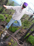
My own research consisted of gaining purchase on the unleveled logs full of branches broken off into spear points.

As well as the time lag of balance determination among carbonized tree-remains.

And of course trying to line my's elf between both a pair of foreground burned tree-remains as well as centering among the backdrop's pair of charred remains flanked by a pair of living trees.

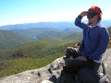
All in all a fascinating journey that we ended with setting up camp on the top of the ridge. We built a heck of a campfire which ended with Freeflow making fire faeries.
 While I urged him on.
The next day we closed up camp after being rained on overnight. This had us hankering for more than fruit and cold tea. So we went to Famous Louise's and ate in Avery County.


1 comment:
That place is awesome. My friends had their wedding in the Gorge, it was an amazing day...
Post a Comment